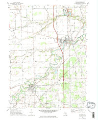
1972 Map of Dundee
USGS Topo · Published 1975About this map
The Raisin River meanders sharply across this southeastern Michigan landscape, defining the layout of the primary settlements at Dundee and Petersburg. By the early 1970s, the area maintained a distinct agricultural character, with long, straight sections of Richardson Road and Day Road sectioning the terrain. The presence of several small airfields, including Gradolph Airfield and the Lada Airport, suggests a local history of private aviation alongside the traditional rail economy.
Find a feature on this map
63 named features on this map. Tap any name to fly to it.
Don’t see what you’re looking for? This feature index may not catch every label — zoom into the map to look around manually.
Map Details
Editions of this 1972 Dundee Map
2 editions found
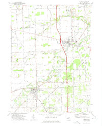
Other maps of this area

1902 · Ypsilanti
USGS Topo · 1:62,500

1904 · Ann Arbor
USGS Topo · 1:125,000

1906 · Ypsilanti
USGS Topo · 1:62,500

1906 · Saline
USGS Topo · 1:62,500

1908 · Ann Arbor
USGS Topo · 1:125,000

1912 · Dundee
USGS Topo · 1:62,500

1926 · Dundee
USGS Topo · 1:62,500

1936 · Samaria
USGS Topo · 1:31,680
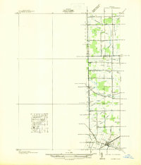
1936 · Maybee
USGS Topo · 1:31,680
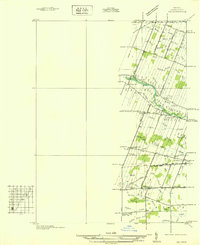
1936 · Ida
USGS Topo · 1:31,680