
1943 Map of Dunedin
USGS Topo · Published 1943About this map
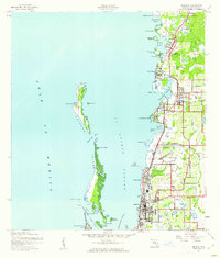
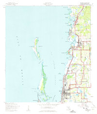
The coastal communities of Dunedin and Palm Harbor are central to this 1943 survey, showing the Pinellas County shoreline as it appeared during the Second World War. The interior is divided into local precincts, with Dunedin Isles and Seaside reflecting early coastal residential development. The Atlantic Coast Line railroad runs parallel to the shore, serving established spots like Wall Springs, Ozona, and Crystal Beach, which provided access to the waters of St Joseph Sound.
Find a feature on this map
60 named features on this map. Tap any name to fly to it.
Don’t see what you’re looking for? This feature index may not catch every label — zoom into the map to look around manually.
Map Details
Editions of this 1943 Dunedin Map
3 editions found
Other maps of this area

1921 · Sand Key
USGS Topo · 1:62,500

1921 · St Petersburg
USGS Topo · 1:62,500

1943 · Safety Harbor
USGS Topo · 1:31,680

1943 · Tarpon Springs
USGS Topo · 1:31,680

1943 · Clearwater
USGS Topo · 1:24,000

1943 · Elfers
USGS Topo · 1:24,000

1943 · Oldsmar
USGS Topo · 1:24,000

1944 · Elfers
USGS Topo · 1:31,680

1944 · Oldsmar
USGS Topo · 1:31,680
1947 · Safety Harbor
USGS Topo · 1:24,000