
1937 Map of Dunlap
USGS Topo · Published 1937About this map
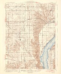
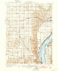
Illinois River bluffs dominate the eastern margin of this landscape, where the Peoria Heights vicinity meets the river's wide floodplains. During the 1930s, this region north of Peoria was a complex tapestry of agricultural prairie, small rail stops, and early aviation facilities like the Mt Hawley Landing Field and the Peoria Aero Club. Three major railroads — the Chicago and Northwestern, the Atchison Topeka and Santa Fe, and the Chicago Rock Island and Pacific — intersect the landscape, connecting settlements like Dunlap and Edelstein.
Find a feature on this map
95 named features on this map. Tap any name to fly to it.
Don’t see what you’re looking for? This feature index may not catch every label — zoom into the map to look around manually.
Map Details
Editions of this 1937 Dunlap Map
3 editions found
Other maps of this area

1893 · Lacon
USGS Topo · 1:62,500

1893 · Metamora
USGS Topo · 1:62,500

1893 · Dunlap
USGS Topo · 1:62,500

1898 · Dunlap
USGS Topo · 1:62,500

1905 · Peoria
USGS Topo · 1:62,500

1927 · Peoria
USGS Topo · 1:62,500

1928 · Mackinaw
USGS Topo · 1:62,500

1930 · Glasford
USGS Topo · 1:62,500

1932 · Mackinaw
USGS Topo · 1:62,500

1932 · Dunlap
USGS Topo · 1:62,500