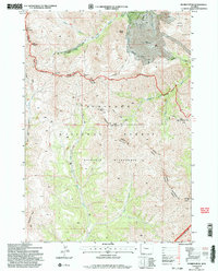
1991 Map of Dunrud Peak
USGS Topo · Published 1997About this map
Dunrud Peak and its surrounding high-elevation peaks dominate this 1991 survey of the Absaroka Range, marking the convergence of Fremont, Park, and Hot Springs counties. The landscape is defined by the intersection of the Shoshone National Forest, Wind River Wilderness, and Washakie Wilderness. A network of backcountry routes, including the Bear Creek Trail and Greybull Wind River Trail, navigate through steep passes such as East Fork Pass and Coal Chute Pass. Along the southeastern edge, the Wind River Indian Res Bdy marks a significant administrative and cultural perimeter. The drainage patterns of the East Fork Wood River and Middle Fork Wood River reveal the hydrographic importance of this region, which remains largely untouched by modern development, characterized by named heights like Mount Sniffel and Spar Mountain.
Find a feature on this map
33 named features on this map. Tap any name to fly to it.
Don’t see what you’re looking for? This feature index may not catch every label — zoom into the map to look around manually.
Map Details
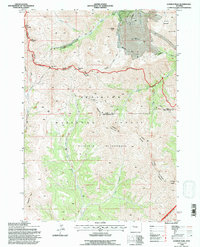
Editions of this 1991 Dunrud Peak Map
2 editions found
Other maps of this area

1904 · Kirwin
USGS Topo · 1:125,000

1906 · Kirwin
USGS Topo · 1:125,000

1955 · Thermopolis
USGS Topo · 1:250,000

1958 · Thermopolis
USGS Topo · 1:250,000

1962 · Thermopolis
USGS Topo · 1:250,000

1967 · Monument Peak
USGS Topo · 1:24,000
1967 · East Fork Basin
USGS Topo · 1:24,000
1967 · Castle Rock
USGS Topo · 1:24,000
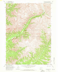
1969 · Wiggins Peak
USGS Topo · 1:24,000
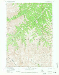
1969 · Twin Peaks
USGS Topo · 1:24,000