
1935 Map of Dunsmuir
USGS Topo · Published 1935About this map
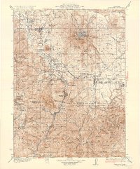
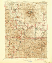
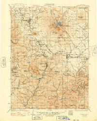
Mt Shasta and its massive volcanic shoulders dominate this 1935 survey of the northern Sierras and Cascades intersection. The landscape is defined by the canyon of the Sacramento River, which serves as the primary corridor for the Southern Pacific railroad and the Wagon Road. This transportation spine links mountain settlements like Dunsmuir, Shasta Springs, and Castella. Further east, the Mc Cloud lumbering interests and the McCloud River Club represent the era's dual focus on resource extraction and elite recreation.
Find a feature on this map
119 named features on this map. Tap any name to fly to it.
Don’t see what you’re looking for? This feature index may not catch every label — zoom into the map to look around manually.
Map Details
Editions of this 1935 Dunsmuir Map
4 editions found
Other maps of this area

1886 · Lassen Peak
USGS Topo · 1:250,000

1886 · Modoc Lava Bed
USGS Topo · 1:250,000

1886 · Shasta
USGS Topo · 1:250,000

1890 · Red Bluff
USGS Topo · 1:250,000

1892 · Modoc Lava-Bed
USGS Topo · 1:250,000

1892 · Lassen Peak
USGS Topo · 1:250,000

1894 · Lassen Peak
USGS Topo · 1:250,000

1894 · Red Bluff
USGS Topo · 1:250,000

1894 · Shasta
USGS Topo · 1:250,000

1901 · Redding
USGS Topo · 1:125,000