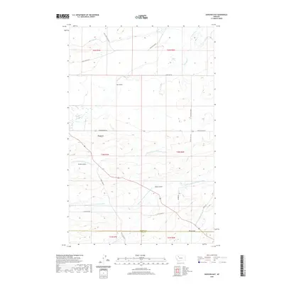
2020 Map of Dupuyer East
USGS Topo · Published 2020About this map
The settlement of Dupuyer serves as a focal point in this landscape where the high plains meet the intricate drainage systems of the Rocky Mountain Front. The map reveals an complex network of water management and natural hydrology, including the B Canal, B Four Ditch, and D Canal, which support agriculture across the benchlands. Local geography is defined by numerous coulees such as Hay Coulee and Woods Coulee, while the branching tributaries of the Marias River—including the Middle Fork and North Fork—carve through the terrain. Evidence of local industry and community is found at Crocker Springs and along the Birch Creek Colony Rd, providing a record of the road networks that connect these rural Pondera County holdings. This survey captures the distinct character of Montana's ranching country, showing the transition from open range to irrigated fields near the Teton County border.
Find a feature on this map
32 named features on this map. Tap any name to fly to it.
Don’t see what you’re looking for? This feature index may not catch every label — zoom into the map to look around manually.
Map Details
Editions of this 2020 Dupuyer East Map
This is the sole edition of this map. No revisions or reprints were ever made.
Other maps of this area

1914 · Heart Butte
USGS Topo · 1:125,000

1918 · Heart Butte
USGS Topo · 1:125,000

1920 · Dupuyer
USGS Topo · 1:125,000

1934 · Lake Frances
USGS Topo · 1:48,000

1936 · Pendroy
USGS Topo · 1:48,000

1937 · Lake Frances
USGS Topo · 1:62,500

1941 · Pendroy
USGS Topo · 1:62,500

1960 · Cut Bank
USGS Topo · 1:250,000

1963 · Cut Bank
USGS Topo · 1:250,000

1964 · Cut Bank
USGS Topo · 1:250,000
Featured Places
- Birch Creek Hutterite Colony, MT
- Pondera Hutterite Colony, MT
- Teton County, MT
- Pondera County, MT
- United States