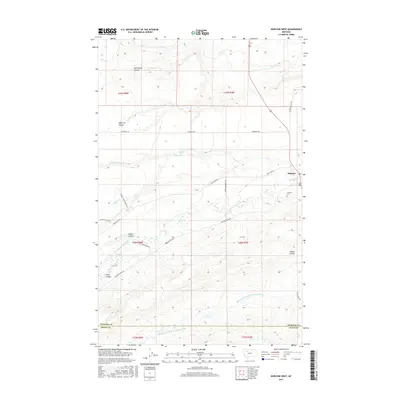
2017 Map of Dupuyer West
USGS Topo · Published 2017About this map
The settlement of Dupuyer serves as the focal point for this landscape along the border of Pondera and Teton counties. Irrigation is a defining characteristic of the terrain, visible through the extensive network of the B Canal and the Dean-Burdebauch Ditch, which redirect water across the plains south of Cartwright Coulee. These water management systems speak to the region's agricultural heritage, supporting various private holdings such as those found along Anderson Ranch Ln and Rappold Ranch Ln.
Find a feature on this map
29 named features on this map. Tap any name to fly to it.
Don’t see what you’re looking for? This feature index may not catch every label — zoom into the map to look around manually.
Map Details
Editions of this 2017 Dupuyer West Map
This is the sole edition of this map. No revisions or reprints were ever made.
Other maps of this area

1914 · Heart Butte
USGS Topo · 1:125,000

1918 · Heart Butte
USGS Topo · 1:125,000

1920 · Dupuyer
USGS Topo · 1:125,000

1934 · Lake Frances
USGS Topo · 1:48,000

1936 · Pendroy
USGS Topo · 1:48,000

1937 · Lake Frances
USGS Topo · 1:62,500

1941 · Pendroy
USGS Topo · 1:62,500

1960 · Cut Bank
USGS Topo · 1:250,000

1963 · Cut Bank
USGS Topo · 1:250,000

1964 · Cut Bank
USGS Topo · 1:250,000