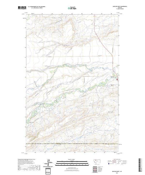
2024 Map of Dupuyer West
USGS Topo · Published 2024About this map
The town of Dupuyer serves as a focal point in this portion of Pondera County, where the plains meet the rising foothills. The landscape is defined by a complex irrigation and drainage network essential for ranching and agriculture, featuring the B Canal, Dean Burd Leach Ditch, and the winding Dupuyer Creek. Genealogists will find the Dupuyer Cem located just south of the main settlement. The terrain is marked by numerous traditional Montana coulees, including Sober Up Coulee, Cartwright Coulee, and Jones Coulee. To the south, the Blackfoot Valley Conservation Area borders the Teton County line, protecting the headwaters and drainages of the Middle Fork Dry Fork Marias River. Ranch access is detailed via routes such as Grizzly Trails Ranch Ln and Anderson Ranch Ln, illustrating the modern rural infrastructure of this Rocky Mountain Front region.
Find a feature on this map
29 named features on this map. Tap any name to fly to it.
Don’t see what you’re looking for? This feature index may not catch every label — zoom into the map to look around manually.
Map Details
Editions of this 2024 Dupuyer West Map
This is the sole edition of this map. No revisions or reprints were ever made.
Other maps of this area

1914 · Heart Butte
USGS Topo · 1:125,000

1918 · Heart Butte
USGS Topo · 1:125,000

1920 · Dupuyer
USGS Topo · 1:125,000

1934 · Lake Frances
USGS Topo · 1:48,000

1936 · Pendroy
USGS Topo · 1:48,000

1937 · Lake Frances
USGS Topo · 1:62,500

1941 · Pendroy
USGS Topo · 1:62,500

1960 · Cut Bank
USGS Topo · 1:250,000

1963 · Cut Bank
USGS Topo · 1:250,000

1964 · Cut Bank
USGS Topo · 1:250,000