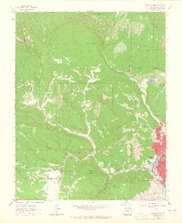
1963 Map of Durango West
USGS Topo · Published 1965About this map
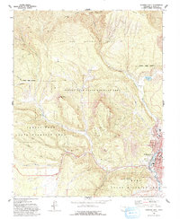
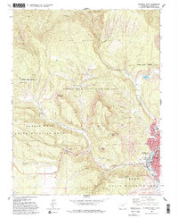
Durango anchors the eastern edge of this landscape, where the residential grid of streets like Montview Pkwy and Crestview Dr meets the rugged slopes of Smelter Mountain and Green Mountain. The western half of the map is defined by the resource-heavy terrain of the San Juan National Forest, where numerous coal and mineral operations reflect the area’s industrial history. Traces of the Old Railroad Grade follow the contours of Wildcat Canyon, marking the historical transport routes through the canyons. Notable mining landmarks such as the Victory Mine, Sunshine Mine, and OK Mine are concentrated near the drainages of Coal Gulch and Lightner Creek. Along the Animas River valley, civic life is represented by the presence of Needham Sch and Miller Jr High Sch, providing a look at the mid-century development of this mountain hub.
Find a feature on this map
59 named features on this map. Tap any name to fly to it.
Don’t see what you’re looking for? This feature index may not catch every label — zoom into the map to look around manually.
Map Details
Editions of this 1963 Durango West Map
6 editions found
Other maps of this area

1895 · La Plata
USGS Topo · 1:62,500

1897 · La Plata
USGS Topo · 1:62,500

1898 · Durango
USGS Topo · 1:62,500

1899 · La Plata
USGS Topo · 1:62,500

1907 · Durango
USGS Topo · 1:62,500

1908 · Ignacio
USGS Topo · 1:125,000

1908 · Durango
USGS Topo · 1:62,500

1908 · La Plata
USGS Topo · 1:62,500

1913 · Red Mesa
USGS Topo · 1:62,500

1924 · Ignacio
USGS Topo · 1:125,000