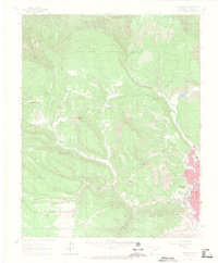
1963 Map of Durango West
USGS Topo · Published 1970About this map
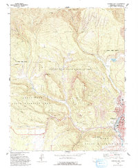
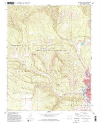
The mountain-rimmed valley of Durango anchors the eastern edge of this landscape, where the D & R G W RR follows the winding path of the Animas River. The map captures the transition from town life to the high-country industry of the San Juan National Forest, where a network of water features like the Big Stick Ditch and Lightner Creek support the local topography. Evidence of the area's extractive history is prominent, from the Peerless Mine and Morning Star Mine to an Old Railroad Grade that speaks to the shifting transport needs of the mid-20th century.
Find a feature on this map
39 named features on this map. Tap any name to fly to it.
Don’t see what you’re looking for? This feature index may not catch every label — zoom into the map to look around manually.
Map Details
Editions of this 1963 Durango West Map
6 editions found
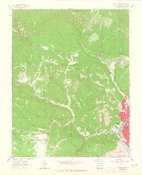
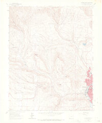
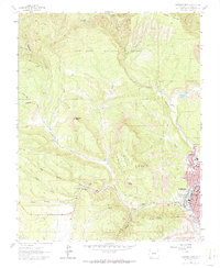
Other maps of this area

1895 · La Plata
USGS Topo · 1:62,500

1897 · La Plata
USGS Topo · 1:62,500

1898 · Durango
USGS Topo · 1:62,500

1899 · La Plata
USGS Topo · 1:62,500

1907 · Durango
USGS Topo · 1:62,500

1908 · Ignacio
USGS Topo · 1:125,000

1908 · Durango
USGS Topo · 1:62,500

1908 · La Plata
USGS Topo · 1:62,500

1913 · Red Mesa
USGS Topo · 1:62,500

1924 · Ignacio
USGS Topo · 1:125,000