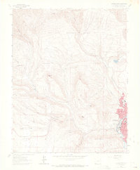
1963 Map of Durango West
USGS Topo · Published 1970About this map
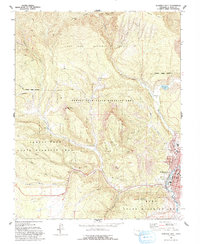
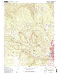
The rugged western edge of Durango is defined by a landscape of deep canyons and industrial heritage in the early 1960s. High peaks like Smelter Mountain and Perins Peak overlook the narrow valley of the Animas River, where the Denver and Rio Grande Western tracks parallel the water. The map documents an era of active and legacy extraction, with an array of workings concentrated along Coal Gulch, including the Sunshine Mine, Morning Star Mine, and Victory Mine.
Find a feature on this map
45 named features on this map. Tap any name to fly to it.
Don’t see what you’re looking for? This feature index may not catch every label — zoom into the map to look around manually.
Map Details
Editions of this 1963 Durango West Map
6 editions found
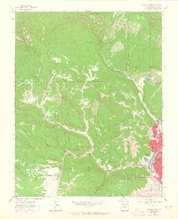
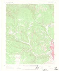
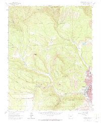
Other maps of this area

1895 · La Plata
USGS Topo · 1:62,500

1897 · La Plata
USGS Topo · 1:62,500

1898 · Durango
USGS Topo · 1:62,500

1899 · La Plata
USGS Topo · 1:62,500

1907 · Durango
USGS Topo · 1:62,500

1908 · Ignacio
USGS Topo · 1:125,000

1908 · Durango
USGS Topo · 1:62,500

1908 · La Plata
USGS Topo · 1:62,500

1913 · Red Mesa
USGS Topo · 1:62,500

1924 · Ignacio
USGS Topo · 1:125,000