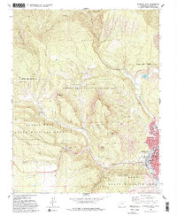
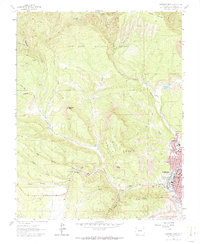
1963 Map of Durango West
USGS Topo · Published 1993About this map
The western edge of Durango anchors this mid-century survey, revealing the city’s residential expansion toward the steep elevations of the San Juan Mountains. The landscape is defined by the steep descent from Perins Peak and Smelter Mountain down to the Animas River corridor. Within the city limits, early institutional landmarks like Needham Sch and Miller Jr High Sch are established, while the Green Mount Cemetery occupies a prominent rise above the river valley.
Find a feature on this map
43 named features on this map. Tap any name to fly to it.
Don’t see what you’re looking for? This feature index may not catch every label — zoom into the map to look around manually.
Map Details
Editions of this 1963 Durango West Map
6 editions found
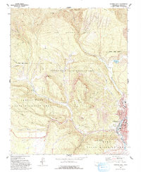
Other maps of this area

1895 · La Plata
USGS Topo · 1:62,500

1897 · La Plata
USGS Topo · 1:62,500

1898 · Durango
USGS Topo · 1:62,500

1899 · La Plata
USGS Topo · 1:62,500

1907 · Durango
USGS Topo · 1:62,500

1908 · Ignacio
USGS Topo · 1:125,000

1908 · Durango
USGS Topo · 1:62,500

1908 · La Plata
USGS Topo · 1:62,500

1913 · Red Mesa
USGS Topo · 1:62,500

1924 · Ignacio
USGS Topo · 1:125,000