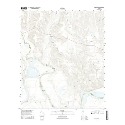
2014 Map of Durant Bend
USGS Topo · Published 2014About this map
The Alabama River carves a dramatic path through this central Alabama landscape, defining the boundaries between Autauga, Dallas, and Lowndes counties. This river corridor is characterized by significant navigational landmarks and sandbars, including Old Hell Bar, Gaston Bar, and Morgan Bar, which sit below prominent elevations like Jones Bluff and Cunningham Bluff. The interior terrain is shaped by the drainage of Mulberry Creek and Ivy Creek, supporting several small settlements.
Find a feature on this map
44 named features on this map. Tap any name to fly to it.
Don’t see what you’re looking for? This feature index may not catch every label — zoom into the map to look around manually.
Map Details
Editions of this 2014 Durant Bend Map
This is the sole edition of this map. No revisions or reprints were ever made.
Other maps of this area

1891 · Clanton
USGS Topo · 1:125,000

1953 · Montgomery
USGS Topo · 1:250,000

1956 · Montgomery
USGS Topo · 1:250,000

1957 · Montgomery
USGS Topo · 1:250,000

1957 · Autaugaville
USGS Topo · 1:62,500

1957 · Benton
USGS Topo · 1:62,500

1959 · Plantersville
USGS Topo · 1:62,500

1959 · Billingsley
USGS Topo · 1:62,500

1975 · Benton SE
USGS Topo · 1:24,000

1975 · Autaugaville SW
USGS Topo · 1:24,000