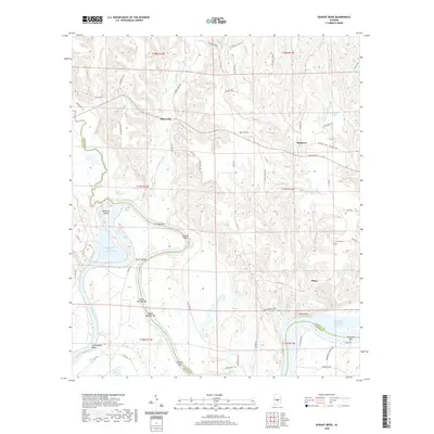
2020 Map of Durant Bend
USGS Topo · Published 2020About this map
Statesville and Mulberry sit within a landscape defined by the winding course of the Alabama River and the numerous sandbars and bluffs that characterize its banks. This 2020 survey documents a transition in the river's character as it meets the R E 'Bob' Woodruff Reservoir, where the water broadens near Jones Bluff. The terrain is marked by family-named landmarks and local sites such as Jones Cem and the settlement of Peace, providing clear points of reference for genealogists and local historians.
Find a feature on this map
70 named features on this map. Tap any name to fly to it.
Don’t see what you’re looking for? This feature index may not catch every label — zoom into the map to look around manually.
Map Details
Editions of this 2020 Durant Bend Map
This is the sole edition of this map. No revisions or reprints were ever made.
Other maps of this area

1891 · Clanton
USGS Topo · 1:125,000

1953 · Montgomery
USGS Topo · 1:250,000

1956 · Montgomery
USGS Topo · 1:250,000

1957 · Montgomery
USGS Topo · 1:250,000

1957 · Autaugaville
USGS Topo · 1:62,500

1957 · Benton
USGS Topo · 1:62,500

1959 · Plantersville
USGS Topo · 1:62,500

1959 · Billingsley
USGS Topo · 1:62,500

1975 · Benton SE
USGS Topo · 1:24,000

1975 · Autaugaville SW
USGS Topo · 1:24,000