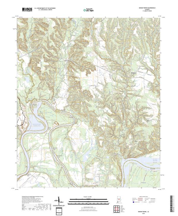
2024 Map of Durant Bend
USGS Topo · Published 2024About this map
The Alabama River carves a dramatic, winding path through this portion of Autauga County, creating the distinctive oxbow shape of Durant Bend. The landscape is defined by the river’s historical activity, evidenced by numerous named sandbars such as Old Hell Bar, Gaston Bar, and Upper Brother Bar. These features, along with prominent heights like Cunningham Bluff and Jones Bluff, illustrate the dynamic fluvial environment that has shaped local land use and boundaries.
Find a feature on this map
65 named features on this map. Tap any name to fly to it.
Don’t see what you’re looking for? This feature index may not catch every label — zoom into the map to look around manually.
Map Details
Editions of this 2024 Durant Bend Map
This is the sole edition of this map. No revisions or reprints were ever made.
Other maps of this area

1891 · Clanton
USGS Topo · 1:125,000

1953 · Montgomery
USGS Topo · 1:250,000

1956 · Montgomery
USGS Topo · 1:250,000

1957 · Montgomery
USGS Topo · 1:250,000

1957 · Autaugaville
USGS Topo · 1:62,500

1957 · Benton
USGS Topo · 1:62,500

1959 · Plantersville
USGS Topo · 1:62,500

1959 · Billingsley
USGS Topo · 1:62,500

1975 · Benton SE
USGS Topo · 1:24,000

1975 · Autaugaville SW
USGS Topo · 1:24,000