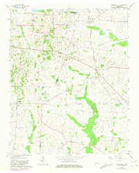
1964 Map of Durhamville
USGS Topo · Published 1981About this map
Durhamville and Nutbush serve as central points in this mid-century portrait of West Tennessee, where the landscape is defined by agricultural lands and a network of rural schools and churches. The map captures a moment in the mid-1960s with updates from the early 1980s, showing the distribution of small community landmarks like Flag Grove Sch and Marys Chapel. These small settlements are linked by historic routes such as Forked Deer Road and Nunn Road, which navigate the terrain between Cane Creek to the north and Lagoon Creek to the south.
Find a feature on this map
30 named features on this map. Tap any name to fly to it.
Don’t see what you’re looking for? This feature index may not catch every label — zoom into the map to look around manually.
Map Details
Editions of this 1964 Durhamville Map
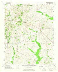
2 editions found
Other maps of this area

1939 · Hales Point
USGS Topo · 1:62,500

1939 · Halls
USGS Topo · 1:62,500

1950 · Brownsville
USGS Topo · 1:24,000

1951 · Brownsville
USGS Topo · 1:24,000

1952 · Hales Point
USGS Topo · 1:62,500

1952 · Gates
USGS Topo · 1:24,000

1952 · Chestnut Bluff
USGS Topo · 1:24,000

1956 · Blytheville
USGS Topo · 1:250,000

1959 · Blytheville
USGS Topo · 1:250,000

1961 · Hales Point
USGS Topo · 1:62,500