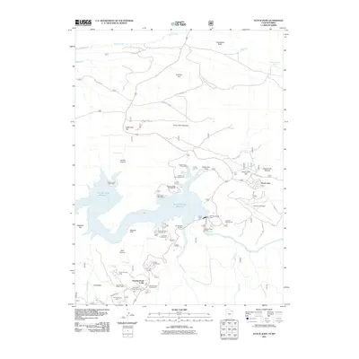
2011 Map of Dutch John
USGS Topo · Published 2011About this map
The Flaming Gorge Dam serves as the centerpiece of this northern Utah landscape, holding back the waters of the Flaming Gorge Reservoir as it fills the canyons of the Green River. The settlement of Dutch John stands near the dam, supported by facilities like the Dutch John Airport and a network of recreation sites such as the Canyon Glen Picnic Area and Dutch John Boat Ramp. To the south, the community of Greendale and the Flaming Gorge Lodge mark a hub for travelers and residents alike. Local history is anchored by the Jack Robinson Historic Cabin, while the Greendale Canal suggests the engineering required to manage water in this arid environment. The map also traces the winding paths of Spring Creek Rd and Jug Hollow Rd across the plateau of Antelope Flat, leading toward the imposing height of Dutch John Mountain.
Find a feature on this map
52 named features on this map. Tap any name to fly to it.
Don’t see what you’re looking for? This feature index may not catch every label — zoom into the map to look around manually.
Map Details
Editions of this 2011 Dutch John Map
This is the sole edition of this map. No revisions or reprints were ever made.
Other maps of this area

1885 · Ashley
USGS Topo · 1:250,000

1906 · Marsh Peak
USGS Topo · 1:125,000

1908 · Marsh Peak
USGS Topo · 1:125,000

1952 · Dutch John Mtn
USGS Topo · 1:24,000

1952 · Goslin Mtn
USGS Topo · 1:24,000

1952 · Flaming Gorge
USGS Topo · 1:24,000

1954 · Vernal
USGS Topo · 1:250,000

1954 · Rock Springs
USGS Topo · 1:250,000

1957 · Currant Creek Ranch
USGS Topo · 1:62,500

1958 · Vernal
USGS Topo · 1:250,000
Featured Places
- Flaming Gorge Summer Home Area, UT
- Dutch John, UT
- Sweetwater County, WY
- Daggett County, UT
- United States