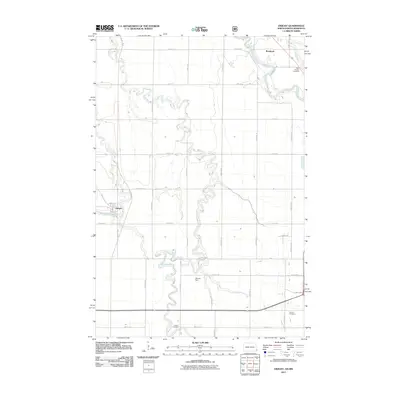
2011 Map of Dwight
USGS Topo · Published 2011About this map
Wild Rice River and the Red River of the North carve meandering paths through this Richland County landscape, defining the agricultural rhythm of the North Dakota-Minnesota border. The small settlement of Dwight sits at the junction of Antelope Creek and the local road network, while Brushvale occupies the northeastern corner near the winding banks of Whisky Creek. This survey reveals a landscape organized by a precise grid of rural routes like County Rd 10 and 177th Ave SE, punctuated by legacy sites essential for local history researchers.
Find a feature on this map
32 named features on this map. Tap any name to fly to it.
Don’t see what you’re looking for? This feature index may not catch every label — zoom into the map to look around manually.
Map Details
Editions of this 2011 Dwight Map
This is the sole edition of this map. No revisions or reprints were ever made.
Other maps of this area

1904 · Wahpeton
USGS Topo · 1:125,000

1953 · Fargo
USGS Topo · 1:250,000

1956 · Fargo
USGS Topo · 1:250,000

1960 · Galchutt
USGS Topo · 1:24,000

1960 · Mooreton East
USGS Topo · 1:24,000

1964 · Fairmount NW
USGS Topo · 1:24,000

1964 · Great Bend
USGS Topo · 1:24,000

1964 · Dwight
USGS Topo · 1:24,000

1964 · Wahpeton
USGS Topo · 1:24,000
1973 · Abercrombie
USGS Topo · 1:24,000