2024 Map of Dwight
USGS Topo · Published 2024About this map
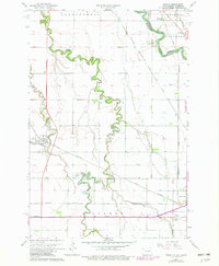
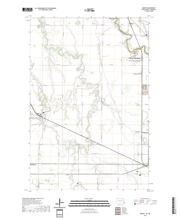
The Wild Rice River meanders across the fertile plains of the Red River Valley, defining the rural character of this border region. Near the western edge, the settlement of Dwight sits at the confluence where Antelope Creek joins the larger river system, while the northern corner features the community of Brushvale situated along the Red River of the North. This boundary area is marked by the interface between North Dakota and Minnesota, specifically where Richland County meets Wilkin County.
Find a feature on this map
42 named features on this map. Tap any name to fly to it.
Don’t see what you’re looking for? This feature index may not catch every label — zoom into the map to look around manually.
Map Details
Editions of this 2024 Dwight Map
This is the sole edition of this map. No revisions or reprints were ever made.