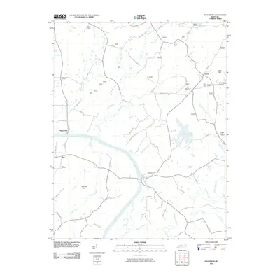
2010 Map of Dycusburg
USGS Topo · Published 2010About this map
The Cumberland River carves a deep path through this section of Livingston County, shaping the local economy and settlement patterns south of Frances. The landscape is dotted with numerous small-scale extractive operations, including the Nancy Hanks Mine, Mary Helen Mine, and Wadell Quarry, indicating a long history of mineral and stone production in the region. These sites, along with several numbered mines like Number 22 Mine, reflect the industrial character of the rural countryside.
Find a feature on this map
84 named features on this map. Tap any name to fly to it.
Don’t see what you’re looking for? This feature index may not catch every label — zoom into the map to look around manually.
Map Details
Editions of this 2010 Dycusburg Map
This is the sole edition of this map. No revisions or reprints were ever made.
Other maps of this area

1916 · Fords Ferry
USGS Topo · 1:62,500

1916 · Golconda
USGS Topo · 1:62,500

1920 · Goloonda
USGS Topo · 1:48,000

1921 · Fords Ferry
USGS Topo · 1:48,000

1921 · Golconda
USGS Topo · 1:62,500

1925 · Cave In Rock
USGS Topo · 1:62,500

1928 · Eddyville
USGS Topo · 1:48,000

1929 · Smithland
USGS Topo · 1:62,500

1931 · Eddyville
USGS Topo · 1:62,500

1936 · Eddyville
USGS Topo · 1:48,000