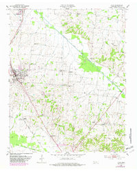
1953 Map of Dyer
USGS Topo · Published 1982About this map
The Illinois Central Gulf railroad corridor serves as the primary artery for Gibson County commerce on this mid-century survey, connecting the busy hub of Dyer with Rutherford to the north. This western Tennessee landscape is characterized by a dense network of rural landmarks that provide invaluable data for family historians, including numerous local congregations such as Beech Grove Ch and Griers Chapel. The terrain transitions from the lowlands of the Rutherford Fork Obion River to several smaller crossroads communities like Barrons Corner and Georgetown. Small family burial sites, including Babbitt Cemetery and Keas Cemetery, are scattered across the quadrangle, preserving the location of 19th-century homesteads. The inclusion of the Mt Zion Sch and a central Community Center reflects the social fabric of these agrarian settlements during an era of significant post-war modernization.
Find a feature on this map
32 named features on this map. Tap any name to fly to it.
Don’t see what you’re looking for? This feature index may not catch every label — zoom into the map to look around manually.
Map Details
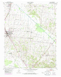
Editions of this 1953 Dyer Map
3 editions found
Other maps of this area

1951 · Trenton
USGS Topo · 1:24,000

1952 · Milan
USGS Topo · 1:24,000

1953 · Dyer
USGS Topo · 1:24,000

1954 · Rutherford
USGS Topo · 1:24,000

1954 · Greenfield
USGS Topo · 1:24,000

1954 · Bradford
USGS Topo · 1:24,000

1956 · Dyersburg
USGS Topo · 1:250,000

1956 · Blytheville
USGS Topo · 1:250,000

1959 · Blytheville
USGS Topo · 1:250,000
1964 · Brazil
USGS Topo · 1:24,000