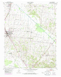
1953 Map of Dyer
USGS Topo · Published 1985About this map
The Rutherford Fork Obion River snakes diagonally across this Gibson County landscape, defining a terrain of bottomlands and low hills centered on the town of Rutherford and the nearby community of Dyer. This mid-century survey reveals a rural society organized around crossroads churches and family-named cemeteries. Features like the Beech Grove Ch Cem and Bucksnort Cem offer specific locations for genealogical research, while the Illinois Central Gulf railroad line provided the vital industrial artery for the region's agricultural economy.
Find a feature on this map
32 named features on this map. Tap any name to fly to it.
Don’t see what you’re looking for? This feature index may not catch every label — zoom into the map to look around manually.
Map Details
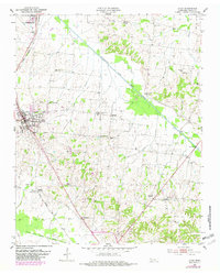
Editions of this 1953 Dyer Map
3 editions found
Other maps of this area

1951 · Trenton
USGS Topo · 1:24,000

1952 · Milan
USGS Topo · 1:24,000

1953 · Dyer
USGS Topo · 1:24,000

1954 · Rutherford
USGS Topo · 1:24,000

1954 · Greenfield
USGS Topo · 1:24,000

1954 · Bradford
USGS Topo · 1:24,000

1956 · Dyersburg
USGS Topo · 1:250,000

1956 · Blytheville
USGS Topo · 1:250,000

1959 · Blytheville
USGS Topo · 1:250,000
1964 · Brazil
USGS Topo · 1:24,000