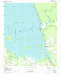
1979 Map of Eadytown
USGS Topo · Published 1981About this map
The waters of Lake Marion dominate this landscape, where the reservoir has transformed the local geography into a complex of islands and inlets. Along the eastern shore, the settlement of Eadytown serves as a focal point near the massive Santee River infrastructure. The map documents an intricate network of waterways, including the Santee Canal, Diversion Canal, and the Bulltown Ditch, reflecting the region's long history of water management and hydroelectric development.
Find a feature on this map
33 named features on this map. Tap any name to fly to it.
Don’t see what you’re looking for? This feature index may not catch every label — zoom into the map to look around manually.
Map Details
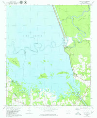
Editions of this 1979 Eadytown Map
2 editions found
Other maps of this area

1920 · Eutawville
USGS Topo · 1:48,000

1920 · Chicora
USGS Topo · 1:48,000

1920 · Manning
USGS Topo · 1:48,000

1921 · Chicora
USGS Topo · 1:62,500

1921 · Manning
USGS Topo · 1:62,500

1921 · Eutawville
USGS Topo · 1:62,500

1943 · Chicora
USGS Topo · 1:62,500

1943 · Eutawville
USGS Topo · 1:62,500

1944 · Manning
USGS Topo · 1:62,500

1954 · Augusta
USGS Topo · 1:250,000