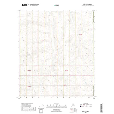
2018 Map of Eagle A-1 NE
USGS Topo · Published 2018About this map
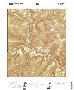
Squaw Gulch serves as a central geographical reference point in this portion of the Southeast Fairbanks Census Area. The landscape is defined by an intricate drainage system where small tributaries like Mariner Cr and Canyon Cr flow through deeply incised valleys. This 2018 survey highlights the remote wilderness of the Alaska interior, documenting the complex hydrography of the region before any major human development. Waterways such as Iles Cr, Kat Cr, and Baby Cr demonstrate the natural flow patterns typical of the subarctic environment. The lack of roads or established settlements emphasizes the undisturbed nature of the territory, where terrain features like Hall Cr and Smith Cr are the primary markers for navigation and land management.
Find a feature on this map
15 named features on this map. Tap any name to fly to it.
Don’t see what you’re looking for? This feature index may not catch every label — zoom into the map to look around manually.
Map Details
Editions of this 2018 Eagle A-1 NE Map
This is the sole edition of this map. No revisions or reprints were ever made.
Other maps of this area

1899 · Fortymile
USGS Topo · 1:250,000

1951 · Eagle
USGS Topo · 1:250,000

1956 · Eagle A-1
USGS Topo · 1:63,360

1956 · Eagle B-1
USGS Topo · 1:63,360

1957 · Eagle
USGS Topo · 1:250,000
2018 · Eagle A-1 NW
USGS Topo · 1:25,000
2018 · Eagle B-1 SE
USGS Topo · 1:25,000
2018 · Eagle A-1 SW
USGS Topo · 1:25,000
2018 · Eagle B-1 SW
USGS Topo · 1:25,000
2018 · Eagle A-1 SE
USGS Topo · 1:25,000