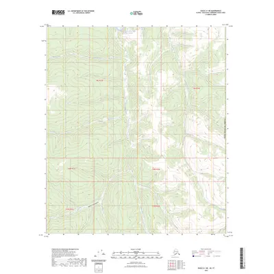
2023 Map of Eagle A-1 NE
USGS Topo · Published 2023About this map
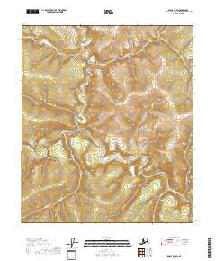
The Fortymile Wild and Scenic River defines the northern edge of this remote interior Alaska landscape, marked by the turbulent waters of Deadman Riffle. The terrain is deeply incised by a dense network of watercourses, including Mariner Creek and Canyon Creek, which drain the surrounding highlands toward the river system. To the south, the topography transitions into the distinctively named Jejezhuu Tr'injaa Gulch and the headwaters of Baby Creek. This area, situated along the international boundary of the United States of America, remains largely roadless and undeveloped. The intricate contour patterns illustrate the complex drainage basins of Smith Creek and Iles Creek, offering a detailed view of the natural hydrology in the Southeast Fairbanks Census Area prior to any significant modern industrial footprint.
Find a feature on this map
18 named features on this map. Tap any name to fly to it.
Don’t see what you’re looking for? This feature index may not catch every label — zoom into the map to look around manually.
Map Details
Editions of this 2023 Eagle A-1 NE Map
This is the sole edition of this map. No revisions or reprints were ever made.
Other maps of this area

1899 · Fortymile
USGS Topo · 1:250,000

1951 · Eagle
USGS Topo · 1:250,000

1956 · Eagle A-1
USGS Topo · 1:63,360

1956 · Eagle B-1
USGS Topo · 1:63,360

1957 · Eagle
USGS Topo · 1:250,000
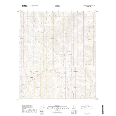
2018 · Eagle A-1 NW
USGS Topo · 1:25,000
2018 · Eagle B-1 SE
USGS Topo · 1:25,000
2018 · Eagle A-1 SW
USGS Topo · 1:25,000
2018 · Eagle B-1 SW
USGS Topo · 1:25,000
2018 · Eagle A-1 NE
USGS Topo · 1:25,000