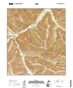
2018 Map of Eagle A-5 NW
USGS Topo · Published 2018About this map
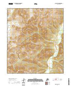
The Middle Fork Fortymile River winds through this high-altitude landscape of the Mertie Mountains in the Southeast Fairbanks region. The topography is dominated by dramatic elevation changes, centered around the peak of Mt Harper in the northeast quadrant. This interior Alaska territory, mapped in 2018, remains largely devoid of modern road infrastructure, defined instead by its natural drainage systems. Tributaries such as Molly Cr and Norvell Cr cut through the various township and range sections, including t8s r22e and t28n r10e. The map illustrates the complex hydrography of the Fortymile River's middle fork as it navigates the steep terrain, providing a look at a wilderness area primarily used for resource exploration and seasonal backcountry access.
Find a feature on this map
12 named features on this map. Tap any name to fly to it.
Don’t see what you’re looking for? This feature index may not catch every label — zoom into the map to look around manually.
Map Details
Editions of this 2018 Eagle A-5 NW Map
This is the sole edition of this map. No revisions or reprints were ever made.
Other maps of this area

1951 · Eagle
USGS Topo · 1:250,000

1956 · Eagle A-5
USGS Topo · 1:63,360

1956 · Eagle B-5
USGS Topo · 1:63,360

1956 · Eagle A-6
USGS Topo · 1:63,360

1956 · Eagle B-6
USGS Topo · 1:63,360

1957 · Eagle
USGS Topo · 1:250,000
2018 · Eagle A-5 SE
USGS Topo · 1:25,000
2018 · Eagle A-5 SW
USGS Topo · 1:25,000
2018 · Eagle A-6 SE
USGS Topo · 1:25,000
2018 · Eagle B-5 SW
USGS Topo · 1:25,000