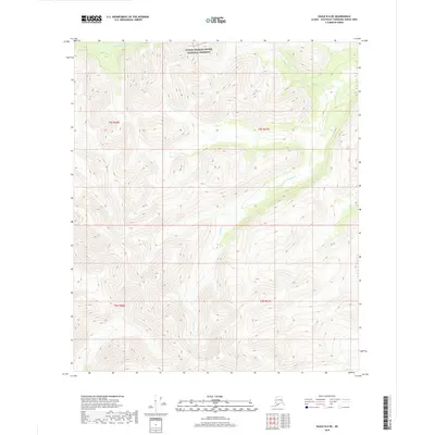
2018 Map of Eagle B-6 NE
USGS Topo · Published 2018About this map
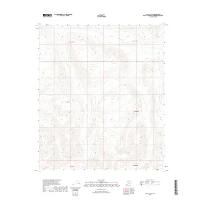
Yukon-Charley Rivers National Preserve covers the northern reaches of this interior Alaskan landscape, preserving a vast expanse of the state's wilderness as it appeared in the early 21st century. The terrain is defined by the high-elevation drainage basins of the Goodpaster River and Joseph Cr, where the water systems carve through significant relief within the Unorganized Borough. This 2018 survey emphasizes the isolation of the region, showing no established roads or settlements, only the intricate topographic contours and the natural flow of these water bodies. Researchers can trace the headwaters and high ridges that mark the boundaries between major river systems in this protected subarctic environment.
Find a feature on this map
7 named features on this map. Tap any name to fly to it.
Don’t see what you’re looking for? This feature index may not catch every label — zoom into the map to look around manually.
Map Details
Editions of this 2018 Eagle B-6 NE Map
This is the sole edition of this map. No revisions or reprints were ever made.
Other maps of this area

1951 · Eagle
USGS Topo · 1:250,000

1956 · Eagle B-5
USGS Topo · 1:63,360

1956 · Eagle C-6
USGS Topo · 1:63,360

1956 · Eagle B-6
USGS Topo · 1:63,360

1956 · Eagle C-5
USGS Topo · 1:63,360

1957 · Eagle
USGS Topo · 1:250,000
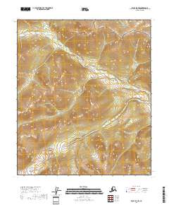
2018 · Eagle B-5 NW
USGS Topo · 1:25,000
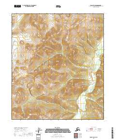
2018 · Eagle B-5 SW
USGS Topo · 1:25,000
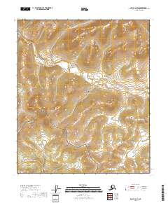
2018 · Eagle C-5 SW
USGS Topo · 1:25,000
2018 · Eagle B-6 SW
USGS Topo · 1:25,000