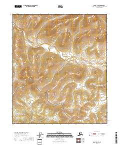
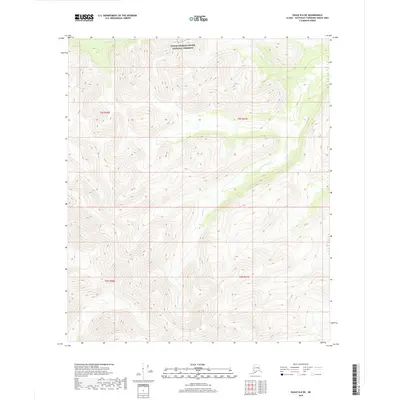
2018 Map of Eagle C-5 SW
USGS Topo · Published 2018About this map
Yukon-Charley Rivers National Preserve dominates the interior of this 2018 survey, representing a vast expanse of protected wilderness in the Southeast Fairbanks Census Area. The topography is defined by significant elevation changes across several townships, including T3s R21e and T4s R22e. This map lacks the roads and settlements found in more developed regions, instead providing a detailed view of the natural drainage patterns and contour lines that characterize the Alaskan interior. The absence of modern infrastructure highlights the area's preservation as a primitive landscape, where township lines like T5s R22e and t5s r21e serve as the primary markers for navigation and land management within the preserve's boundaries.
Find a feature on this map
8 named features on this map. Tap any name to fly to it.
Don’t see what you’re looking for? This feature index may not catch every label — zoom into the map to look around manually.
Map Details
Editions of this 2018 Eagle C-5 SW Map
This is the sole edition of this map. No revisions or reprints were ever made.
Other maps of this area

1951 · Eagle
USGS Topo · 1:250,000

1956 · Eagle B-5
USGS Topo · 1:63,360

1956 · Eagle C-6
USGS Topo · 1:63,360

1956 · Eagle B-6
USGS Topo · 1:63,360

1956 · Eagle C-5
USGS Topo · 1:63,360

1957 · Eagle
USGS Topo · 1:250,000
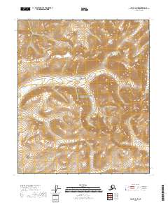
2018 · Eagle C-5 NW
USGS Topo · 1:25,000
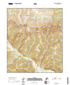
2018 · Eagle B-5 NE
USGS Topo · 1:25,000
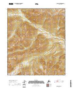
2018 · Eagle B-5 NW
USGS Topo · 1:25,000
2018 · Eagle B-6 NE
USGS Topo · 1:25,000