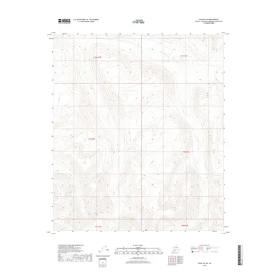
2018 Map of Eagle B-6 SW
USGS Topo · Published 2018About this map
Eisenmenger Fork carves through the northern reaches of this interior landscape, marking a prominent drainage system in the Southeast Fairbanks Census Area. This part of the Alaska interior is defined by sharp topographic shifts and steep drainages, as seen in the winding path of Boulder Cr in the southwest. The area is gridded by public land survey boundaries including t7s r19e and t6s r20e, which provide a framework for navigating this largely undeveloped territory. The land remains an expanse of high-altitude terrain, where watercourses like the Eisenmenger Fork serve as the primary natural landmarks across the township lines.
Find a feature on this map
8 named features on this map. Tap any name to fly to it.
Don’t see what you’re looking for? This feature index may not catch every label — zoom into the map to look around manually.
Map Details
Editions of this 2018 Eagle B-6 SW Map
This is the sole edition of this map. No revisions or reprints were ever made.
Other maps of this area

1950 · Big Delta
USGS Topo · 1:250,000

1951 · Big Delta
USGS Topo · 1:250,000

1951 · Eagle
USGS Topo · 1:250,000

1955 · Big Delta A-1
USGS Topo · 1:63,360

1956 · Eagle A-6
USGS Topo · 1:63,360

1956 · Eagle B-6
USGS Topo · 1:63,360

1957 · Eagle
USGS Topo · 1:250,000

1958 · Big Delta B-1
USGS Topo · 1:63,360

1958 · Big Delta
USGS Topo · 1:250,000
2018 · Big Delta A-1 NE
USGS Topo · 1:25,000