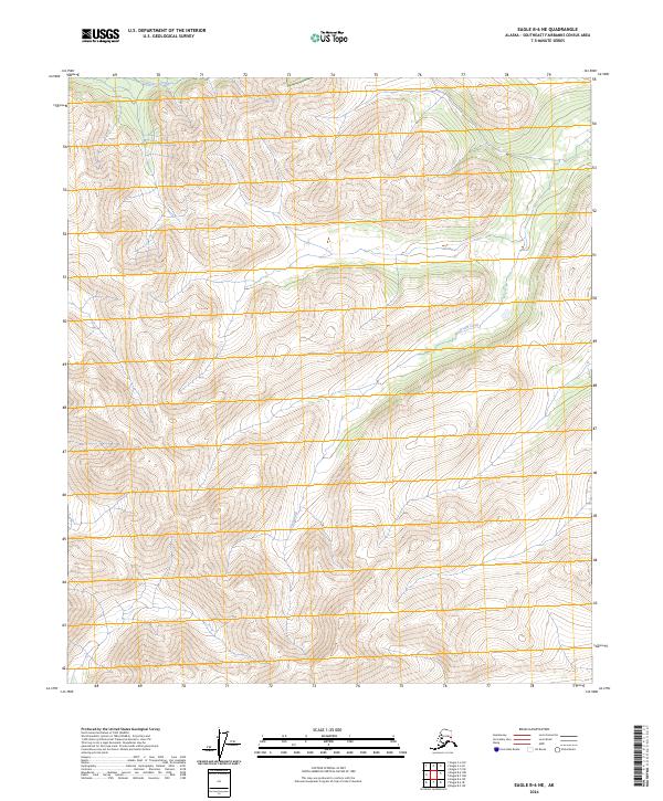
2024 Map of Eagle B-6 NE
USGS Topo · Published 2024About this map
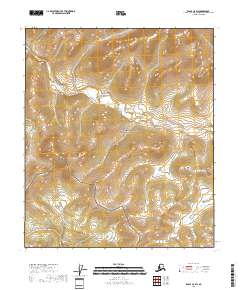
The Fortymile Wild and Scenic River defines the northeastern corner of this interior Alaska landscape, where high-altitude ridges and deep drainage basins dominate the terrain. Flowing through the Southeast Fairbanks Census Area, the river is protected as part of a national system designed to preserve its free-flowing condition. Further west, the Goodpaster River and Joseph Creek carve paths through the mountainous topography of the Yukon-Tanana Uplands. The map reveals the intricate drainage patterns and steep contour gradients typical of this subarctic wilderness, providing a precise record of the natural watercourses that have historically guided exploration and mineral prospecting in the region. Settlement is absent here, leaving the topography and protected waterways as the primary focus for geological and environmental study.
Find a feature on this map
8 named features on this map. Tap any name to fly to it.
Don’t see what you’re looking for? This feature index may not catch every label — zoom into the map to look around manually.
Map Details
Editions of this 2024 Eagle B-6 NE Map
This is the sole edition of this map. No revisions or reprints were ever made.
Other maps of this area

1951 · Eagle
USGS Topo · 1:250,000

1956 · Eagle B-5
USGS Topo · 1:63,360

1956 · Eagle C-6
USGS Topo · 1:63,360

1956 · Eagle B-6
USGS Topo · 1:63,360

1956 · Eagle C-5
USGS Topo · 1:63,360

1957 · Eagle
USGS Topo · 1:250,000
2018 · Eagle B-5 NW
USGS Topo · 1:25,000
2018 · Eagle B-6 NE
USGS Topo · 1:25,000
2018 · Eagle B-5 SW
USGS Topo · 1:25,000
2018 · Eagle C-5 SW
USGS Topo · 1:25,000