
2018 Map of Eagle B-6 SE
USGS Topo · Published 2018About this map
Eisenmenger Fork carves through this interior Alaska landscape, providing the primary hydrological landmark within a vast system of high-elevation terrain. This 2018 survey documents a remote section of the Southeast Fairbanks Census Area, defined by steep contour intervals and significant relief that characterize the region's wilderness. The mapping of the Public Land Survey System grid, including townships t6s r20e, t7s r21e, and t8s r21e, illustrates the systematic division of this unorganized borough. With no roads or permanent settlements recorded on the sheet, the map emphasizes the natural drainage patterns and the isolated character of the Alaskan interior at this moment in the early 21st century.
Find a feature on this map
7 named features on this map. Tap any name to fly to it.
Don’t see what you’re looking for? This feature index may not catch every label — zoom into the map to look around manually.
Map Details
Editions of this 2018 Eagle B-6 SE Map
This is the sole edition of this map. No revisions or reprints were ever made.
Other maps of this area

1951 · Eagle
USGS Topo · 1:250,000

1956 · Eagle A-5
USGS Topo · 1:63,360

1956 · Eagle B-5
USGS Topo · 1:63,360

1956 · Eagle A-6
USGS Topo · 1:63,360

1956 · Eagle B-6
USGS Topo · 1:63,360

1957 · Eagle
USGS Topo · 1:250,000
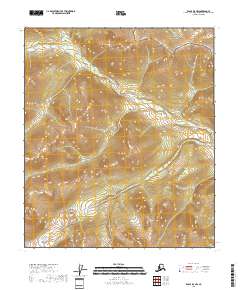
2018 · Eagle B-5 NW
USGS Topo · 1:25,000
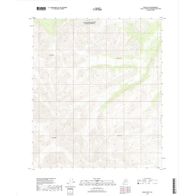
2018 · Eagle B-6 NE
USGS Topo · 1:25,000
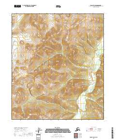
2018 · Eagle B-5 SW
USGS Topo · 1:25,000
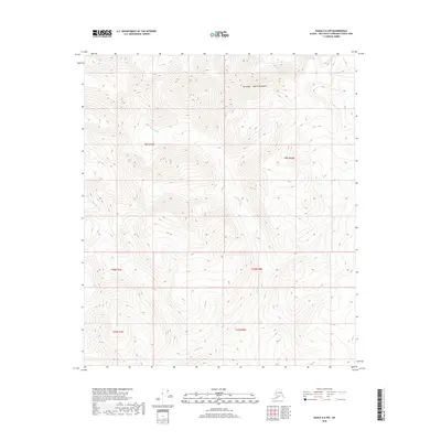
2018 · Eagle A-6 NW
USGS Topo · 1:25,000