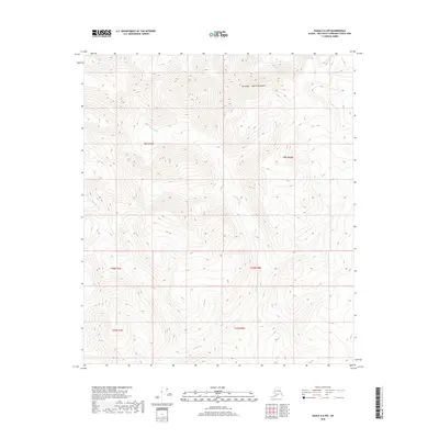
2018 Map of Eagle A-6 NW
USGS Topo · Published 2018About this map
Mt Harper rises as a primary landmark within the high-altitude landscape of the Mertie Mountains, where steep ridgelines and deep valleys dictate the flow of the local water system. This interior Alaskan terrain is defined by the headwaters and drainage patterns of the Healy River, which winds across the central and southern sections of the map, and the S Fork Goodpaster River in the northwest. The absence of roads or developed settlements underscores the isolation of this region within the Southeast Fairbanks Census Area. Instead, the map reveals a purely topographical character, dominated by elevation contours that trace the complex fingers of the mountain range and the natural corridors carved by glacial or seasonal runoff. Researchers can study the untouched hydrology of these forks and rivers as they existed in the early 21st century.
Find a feature on this map
10 named features on this map. Tap any name to fly to it.
Don’t see what you’re looking for? This feature index may not catch every label — zoom into the map to look around manually.
Map Details
Editions of this 2018 Eagle A-6 NW Map
This is the sole edition of this map. No revisions or reprints were ever made.
Other maps of this area

1950 · Big Delta
USGS Topo · 1:250,000

1951 · Big Delta
USGS Topo · 1:250,000

1951 · Eagle
USGS Topo · 1:250,000

1955 · Big Delta A-1
USGS Topo · 1:63,360

1956 · Eagle A-6
USGS Topo · 1:63,360

1956 · Eagle B-6
USGS Topo · 1:63,360

1957 · Eagle
USGS Topo · 1:250,000

1958 · Big Delta B-1
USGS Topo · 1:63,360

1958 · Big Delta
USGS Topo · 1:250,000
2018 · Big Delta A-1 NE
USGS Topo · 1:25,000