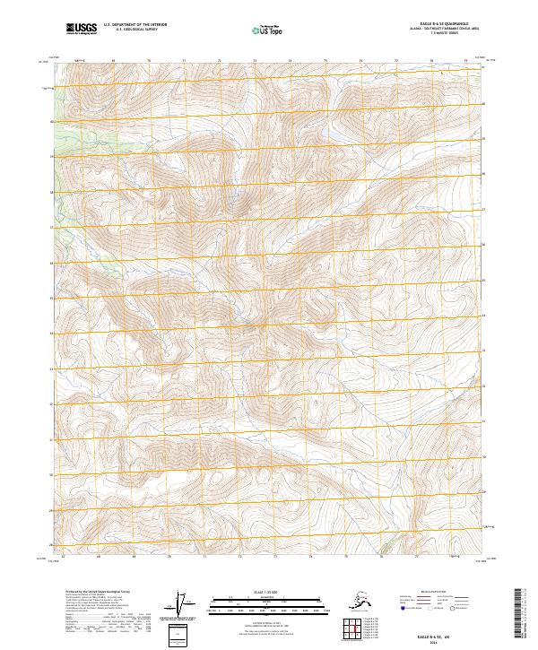
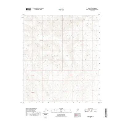
2024 Map of Eagle B-6 SE
USGS Topo · Published 2024About this map
Eisenmenger Fork provides the primary drainage for this high-elevation interior landscape within the Southeast Fairbanks region. The terrain is characterized by a series of prominent ridgelines and summits that define the watershed boundaries between the various branches of the fork. Surveyed in the modern era, the map illustrates a landscape largely defined by its natural topography rather than human development, following the township and range system through t6s r20e, t7s r20e, and t8s r21e. This document serves as a precise record of the upland drainage patterns and elevations that shape this portion of the Alaska interior, where the primary geographical identifiers remain the watercourses and the underlying survey grid.
Find a feature on this map
7 named features on this map. Tap any name to fly to it.
Don’t see what you’re looking for? This feature index may not catch every label — zoom into the map to look around manually.
Map Details
Editions of this 2024 Eagle B-6 SE Map
This is the sole edition of this map. No revisions or reprints were ever made.
Other maps of this area

1951 · Eagle
USGS Topo · 1:250,000

1956 · Eagle A-5
USGS Topo · 1:63,360

1956 · Eagle B-5
USGS Topo · 1:63,360

1956 · Eagle A-6
USGS Topo · 1:63,360

1956 · Eagle B-6
USGS Topo · 1:63,360

1957 · Eagle
USGS Topo · 1:250,000
2018 · Eagle B-5 NW
USGS Topo · 1:25,000
2018 · Eagle B-6 NE
USGS Topo · 1:25,000
2018 · Eagle B-5 SW
USGS Topo · 1:25,000
2018 · Eagle A-6 NW
USGS Topo · 1:25,000