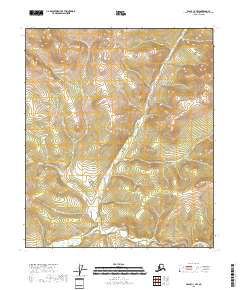
2018 Map of Eagle C-3 NW
USGS Topo · Published 2018About this map
The North Fork Fortymile River carves through the southern edge of this Southeast Fairbanks landscape, providing a primary drainage for several tributary systems. Independence Cr flows southward across the central part of the quadrangle, joined by other upland waters including Ole Cr and Slate Cr. This 2018 survey reveals a terrain defined almost entirely by its hydrography and elevation, with no named settlements or developed infrastructure shown. The drainage patterns of the North Fork Fortymile River are the central focus, illustrating the way small creeks like Slate Cr feed into the larger river system within the Southeast Fairbanks Census Area.
Find a feature on this map
8 named features on this map. Tap any name to fly to it.
Don’t see what you’re looking for? This feature index may not catch every label — zoom into the map to look around manually.
Map Details
Editions of this 2018 Eagle C-3 NW Map
This is the sole edition of this map. No revisions or reprints were ever made.
Other maps of this area

1951 · Eagle
USGS Topo · 1:250,000

1956 · Eagle D-3
USGS Topo · 1:63,360

1956 · Eagle C-3
USGS Topo · 1:63,360
1956 · Eagle D-4
USGS Topo · 1:63,360
1956 · Eagle C-4
USGS Topo · 1:63,360

1957 · Eagle
USGS Topo · 1:250,000
2018 · Eagle C-3 SE
USGS Topo · 1:25,000
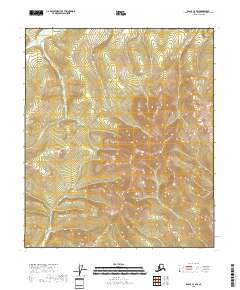
2018 · Eagle C-3 SW
USGS Topo · 1:25,000
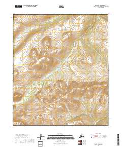
2018 · Eagle D-3 SW
USGS Topo · 1:25,000
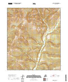
2018 · Eagle C-3 NE
USGS Topo · 1:25,000