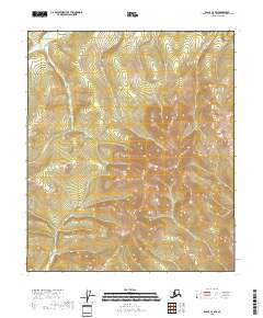
2018 Map of Eagle C-3 SW
USGS Topo · Published 2018About this map
The Mertle Mountains dominate this high-latitude terrain within the Southeast Fairbanks Census Area. This part of Alaska is defined by a sparse but memorable water network, including the seasonal drainages of Merry Christmas Cr and Slate Cr in the northern reaches. The landscape follows a rigorous topographic rise from north to south, where the drainage of Happy New Year Cr cuts through the high elevation. The grid-based system of townships and ranges, such as t4s r27e and t5s r27e, provides the primary structure for this undeveloped territory. This 2018 survey serves as a clear record of the subarctic topography and its natural hydrology before any modern permanent settlements or infrastructure reached this specific interior corridor.
Find a feature on this map
11 named features on this map. Tap any name to fly to it.
Don’t see what you’re looking for? This feature index may not catch every label — zoom into the map to look around manually.
Map Details
Editions of this 2018 Eagle C-3 SW Map
This is the sole edition of this map. No revisions or reprints were ever made.
Other maps of this area

1951 · Eagle
USGS Topo · 1:250,000

1956 · Eagle B-3
USGS Topo · 1:63,360

1956 · Eagle B-4
USGS Topo · 1:63,360

1956 · Eagle C-3
USGS Topo · 1:63,360
1956 · Eagle C-4
USGS Topo · 1:63,360

1957 · Eagle
USGS Topo · 1:250,000
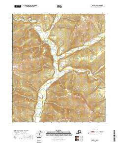
2018 · Eagle C-3 SE
USGS Topo · 1:25,000
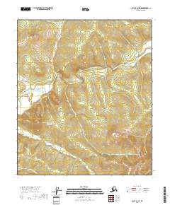
2018 · Eagle B-4 NE
USGS Topo · 1:25,000
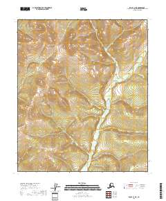
2018 · Eagle C-3 NE
USGS Topo · 1:25,000
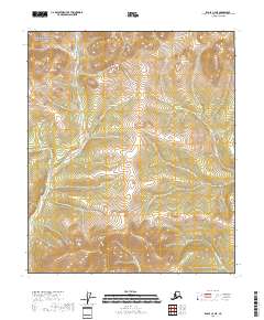
2018 · Eagle C-4 NE
USGS Topo · 1:25,000