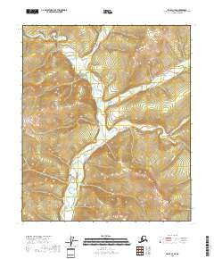
2018 Map of Eagle C-3 SE
USGS Topo · Published 2018About this map
North Fork Fortymile River winds through the heart of this Southeast Fairbanks landscape, serving as the primary drainage for the complex network of creeks that define the regional geography. This 2018 survey illustrates a wilderness characterized by steep elevation shifts where narrow waterways like Butte Cr and Comet Cr descend toward the larger river valley. The map is a study in high-latitude hydrology, capturing the intricate branching of Champion Cr and Bonanza Cr as they cut through the terrain. With no roads or permanent settlements recorded, the map emphasizes the natural topographical structures and the township lines of the t4s r28e and t3s r28e land grids, providing a baseline for environmental study or backcountry navigation in this portion of the Alaska interior.
Find a feature on this map
14 named features on this map. Tap any name to fly to it.
Don’t see what you’re looking for? This feature index may not catch every label — zoom into the map to look around manually.
Map Details
Editions of this 2018 Eagle C-3 SE Map
This is the sole edition of this map. No revisions or reprints were ever made.
Other maps of this area

1899 · Fortymile
USGS Topo · 1:250,000

1951 · Eagle
USGS Topo · 1:250,000

1956 · Eagle C-2
USGS Topo · 1:63,360

1956 · Eagle B-2
USGS Topo · 1:63,360

1956 · Eagle B-3
USGS Topo · 1:63,360

1956 · Eagle C-3
USGS Topo · 1:63,360

1957 · Eagle
USGS Topo · 1:250,000
2018 · Eagle C-3 SW
USGS Topo · 1:25,000
2018 · Eagle C-3 NE
USGS Topo · 1:25,000
2018 · Eagle B-2 NW
USGS Topo · 1:25,000