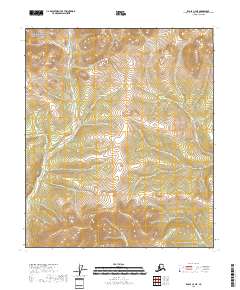
2018 Map of Eagle C-4 NE
USGS Topo · Published 2018About this map
The Yukon-Charley Rivers National Preserve dominates this portion of the Alaskan interior, protecting a wilderness landscape defined by a network of drainage basins. The map illustrates a transition between high ridges and deeply etched creek beds, where water systems like Slate Cr and Ben Cr flow through the western sections. The nomenclature here reflects the distinct character of northern prospecting and seasonal exploration, seen in the colorful naming of Merry Christmas Cr and Fourth of July Cr in the southeastern quadrant. This 2018 survey provides an exact look at the natural drainage patterns and topographical boundaries before they are altered by the shifting permafrost and erosion common to the Southeast Fairbanks region.
Find a feature on this map
10 named features on this map. Tap any name to fly to it.
Don’t see what you’re looking for? This feature index may not catch every label — zoom into the map to look around manually.
Map Details
Editions of this 2018 Eagle C-4 NE Map
This is the sole edition of this map. No revisions or reprints were ever made.
Other maps of this area

1951 · Eagle
USGS Topo · 1:250,000

1956 · Eagle D-3
USGS Topo · 1:63,360

1956 · Eagle C-3
USGS Topo · 1:63,360
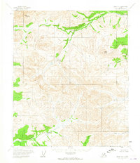
1956 · Eagle D-4
USGS Topo · 1:63,360
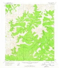
1956 · Eagle C-4
USGS Topo · 1:63,360

1957 · Eagle
USGS Topo · 1:250,000
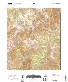
2018 · Eagle C-4 NW
USGS Topo · 1:25,000
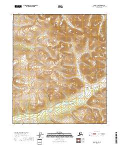
2018 · Eagle D-4 SW
USGS Topo · 1:25,000
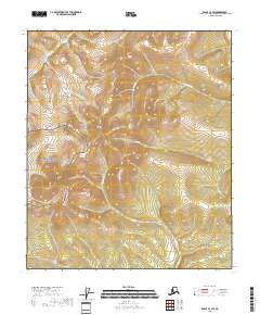
2018 · Eagle C-4 SW
USGS Topo · 1:25,000
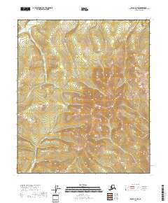
2018 · Eagle C-3 SW
USGS Topo · 1:25,000