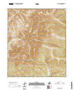
2018 Map of Eagle C-4 SW
USGS Topo · Published 2018About this map
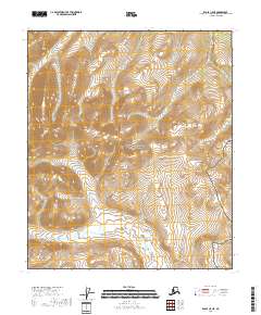
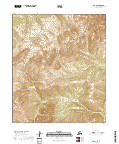
Yukon-Charley Rivers National Preserve covers the western portion of this 2018 survey, marking a landscape defined by significant drainage networks in the Southeast Fairbanks region. The topography is shaped by several major watercourses, including Pittsburgh Cr and Gold Run, which cut through the high-elevation terrain of the Eagle C-4 SW quadrangle. These named streams imply a history of prospector interest or established trails through the interior, typical of the subarctic wilderness. Smaller drainages like Ruby Cr and Jim Cr further divide the ridge systems, providing a detailed look at the hydrological patterns within the national preserve and the adjacent public lands during the early twenty-first century.
Find a feature on this map
12 named features on this map. Tap any name to fly to it.
Don’t see what you’re looking for? This feature index may not catch every label — zoom into the map to look around manually.
Map Details
Editions of this 2018 Eagle C-4 SW Map
This is the sole edition of this map. No revisions or reprints were ever made.
Other maps of this area

1951 · Eagle
USGS Topo · 1:250,000

1956 · Eagle B-5
USGS Topo · 1:63,360

1956 · Eagle B-4
USGS Topo · 1:63,360

1956 · Eagle C-5
USGS Topo · 1:63,360
1956 · Eagle C-4
USGS Topo · 1:63,360

1957 · Eagle
USGS Topo · 1:250,000
2018 · Eagle B-4 NW
USGS Topo · 1:25,000
2018 · Eagle B-5 NE
USGS Topo · 1:25,000
2018 · Eagle C-5 NE
USGS Topo · 1:25,000
2018 · Eagle C-4 NW
USGS Topo · 1:25,000