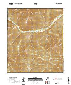
2018 Map of Eagle C-4 SE
USGS Topo · Published 2018About this map
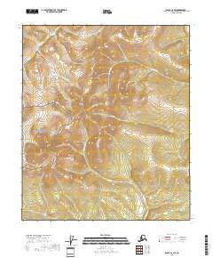
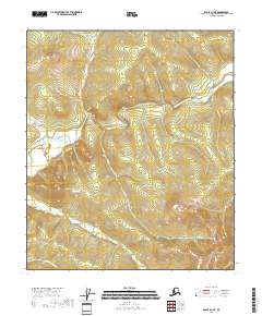
The Mertie Mountains dominate the northwestern horizon of this territory within the Southeast Fairbanks Census Area. The landscape is defined by a dense network of watercourses and topographical depressions, including Ina Gulch and the headwaters of several drainages. This high-latitude terrain reflects a wilderness character where names like Gold Run and Happy-New-Year Cr hint at the prospecting history that once drew miners to these remote Alaskans slopes. Smaller streams such as Slate Cr, Jim Cr, and Portage Cr carve through the high elevations, while Fourth-of-July Cr and Bryan Cr help define the local drainage patterns. The lack of roads or established settlements emphasizes the isolated nature of these mountain ranges during the early twenty-first century.
Find a feature on this map
15 named features on this map. Tap any name to fly to it.
Don’t see what you’re looking for? This feature index may not catch every label — zoom into the map to look around manually.
Map Details
Editions of this 2018 Eagle C-4 SE Map
This is the sole edition of this map. No revisions or reprints were ever made.
Other maps of this area

1951 · Eagle
USGS Topo · 1:250,000

1956 · Eagle B-3
USGS Topo · 1:63,360

1956 · Eagle B-4
USGS Topo · 1:63,360

1956 · Eagle C-3
USGS Topo · 1:63,360
1956 · Eagle C-4
USGS Topo · 1:63,360

1957 · Eagle
USGS Topo · 1:250,000
2018 · Eagle B-4 NW
USGS Topo · 1:25,000
2018 · Eagle C-4 NW
USGS Topo · 1:25,000
2018 · Eagle C-4 SW
USGS Topo · 1:25,000
2018 · Eagle B-4 NE
USGS Topo · 1:25,000