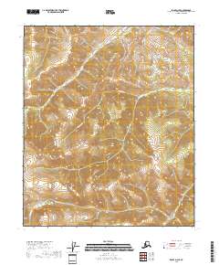
2018 Map of Eagle D-2 SE
USGS Topo · Published 2018About this map
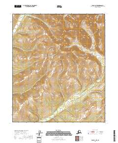
Mission Creek and its tributaries define the drainage patterns of this high-altitude landscape in the Southeast Fairbanks Census Area. The terrain is dominated by steep contour intervals and the branching headwaters of several drainages, including Mission Cr and Cripple Cr in the southeastern corner. This area, largely devoid of permanent settlements or infrastructure, reflects the wilderness character of the Yukon-Alaska borderlands as documented by the U.S. Geological Survey in the early twenty-first century.
Find a feature on this map
14 named features on this map. Tap any name to fly to it.
Don’t see what you’re looking for? This feature index may not catch every label — zoom into the map to look around manually.
Map Details
Editions of this 2018 Eagle D-2 SE Map
This is the sole edition of this map. No revisions or reprints were ever made.
Other maps of this area

1899 · Fortymile
USGS Topo · 1:250,000

1951 · Eagle
USGS Topo · 1:250,000

1956 · Eagle C-1
USGS Topo · 1:63,360

1956 · Eagle D-2
USGS Topo · 1:63,360

1956 · Eagle C-2
USGS Topo · 1:63,360
1956 · Eagle D-1
USGS Topo · 1:63,360

1957 · Eagle
USGS Topo · 1:250,000
2018 · Eagle C-2 NE
USGS Topo · 1:25,000
2018 · Eagle D-2 SW
USGS Topo · 1:25,000
2018 · Eagle C-2 NW
USGS Topo · 1:25,000