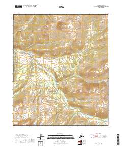
2018 Map of Eagle D-5 SE
USGS Topo · Published 2018About this map
The Yukon-Charley Rivers National Preserve dominates this section of the Southeast Fairbanks Census Area, encompassing a landscape defined by the high elevations of the Mertie Mountains in the northwest. This remote interior region is characterized by a network of drainage systems, most notably Copper Creek, which winds through the central and southern portions of the quadrangle. The topographical detail reveals a complex system of ridgelines and valleys that lack developed infrastructure, reflecting the protected status and wilderness character of the preserve. Smaller watercourses like Gothke Creek emphasize the intricate hydrography that feeds into the larger Yukon River basin beyond these map boundaries.
Find a feature on this map
12 named features on this map. Tap any name to fly to it.
Don’t see what you’re looking for? This feature index may not catch every label — zoom into the map to look around manually.
Map Details
Editions of this 2018 Eagle D-5 SE Map
This is the sole edition of this map. No revisions or reprints were ever made.
Other maps of this area

1951 · Eagle
USGS Topo · 1:250,000
1956 · Eagle D-5
USGS Topo · 1:63,360
1956 · Eagle D-4
USGS Topo · 1:63,360

1956 · Eagle C-5
USGS Topo · 1:63,360
1956 · Eagle C-4
USGS Topo · 1:63,360

1957 · Eagle
USGS Topo · 1:250,000
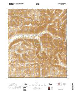
2018 · Eagle C-5 NW
USGS Topo · 1:25,000
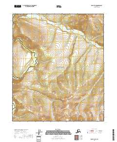
2018 · Eagle D-5 SW
USGS Topo · 1:25,000
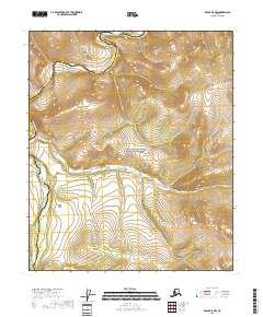
2018 · Eagle D-5 NW
USGS Topo · 1:25,000
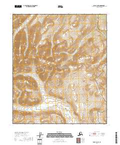
2018 · Eagle C-5 NE
USGS Topo · 1:25,000