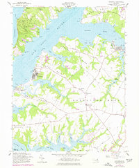
1958 Map of Earleville
USGS Topo · Published 1977About this map
The northern reaches of Maryland's Eastern Shore are defined by a series of distinct peninsulas between the Elk River, Bohemia River, and Sassafras River. This landscape, characterized by "necks" of land like Pearce Neck and Grove Neck, reflects a history deeply tied to these waterways. On the western edge, Elk Neck State Park encompasses Mauldin Mtn, while residential development appears in waterfront communities such as Crystal Beach and West View Shores.
Find a feature on this map
67 named features on this map. Tap any name to fly to it.
Don’t see what you’re looking for? This feature index may not catch every label — zoom into the map to look around manually.
Map Details
Editions of this 1958 Earleville Map
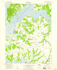
2 editions found
Other maps of this area

1898 · Elkton
USGS Topo · 1:62,500

1898 · Tolchester
USGS Topo · 1:125,000

1899 · Dover
USGS Topo · 1:125,000

1900 · Elkton
USGS Topo · 1:62,500

1900 · Cecilton
USGS Topo · 1:62,500

1900 · Havre De Grace
USGS Topo · 1:62,500

1900 · Betterton
USGS Topo · 1:62,500

1903 · Tolchester
USGS Topo · 1:125,000

1906 · Dover
USGS Topo · 1:125,000

1908 · Tolchester
USGS Topo · 1:125,000