
1961 Map of Earls Gulch
USGS Topo · Published 1964About this map
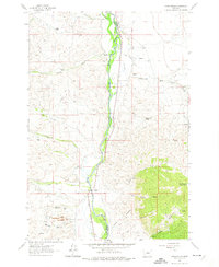
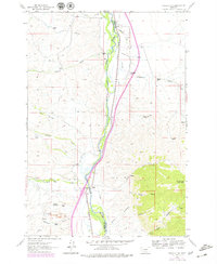
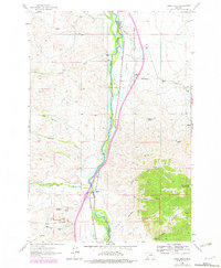
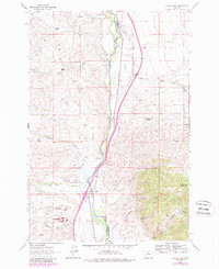
The Big Hole River carves through this portion of Beaverhead and Madison Counties, creating a fertile corridor for irrigation and ranching in an otherwise arid landscape. Traces of a sophisticated water management system are evident through the Streb Ditch, Pendergast Ditch, and Gallagher Ditch, which redirect water to family operations like the Breeden Ranch and Corning Ranch. The Union Pacific railroad parallels the river, serving as the industrial backbone for the region's extraction activities.
Find a feature on this map
41 named features on this map. Tap any name to fly to it.
Don’t see what you’re looking for? This feature index may not catch every label — zoom into the map to look around manually.
Map Details
Editions of this 1961 Earls Gulch Map
5 editions found
Other maps of this area

1893 · Dillon
USGS Topo · 1:250,000

1952 · Twin Adams Mountain
USGS Topo · 1:24,000

1955 · Dillon
USGS Topo · 1:250,000

1957 · Dillon
USGS Topo · 1:250,000

1958 · Dillon
USGS Topo · 1:250,000

1958 · Vipond Park
USGS Topo · 1:62,500

1960 · Glen
USGS Topo · 1:24,000

1960 · Block Mountain
USGS Topo · 1:24,000

1961 · Melrose
USGS Topo · 1:24,000

1961 · Wickiup Creek
USGS Topo · 1:24,000