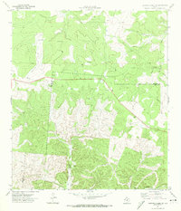
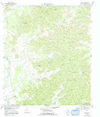
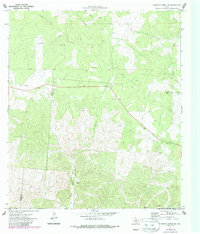
1971 Map of Earwood Creek SW
USGS Topo · Published 1974This historical map portrays the area of Earwood Creek SW in 1971, primarily covering Real County as well as portions of Edwards County. Featuring a scale of 1:24000, this map provides a highly detailed snapshot of the terrain, roads, buildings, counties, and historical landmarks in the Earwood Creek SW region at the time. Published in 1974, it is one of 2 known editions of this map due to revisions or reprints.
Find a feature on this map
13 named features on this map. Tap any name to fly to it.
Don’t see what you’re looking for? This feature index may not catch every label — zoom into the map to look around manually.
Map Details
Editions of this 1971 Earwood Creek SW Map
2 editions found
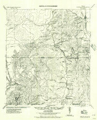
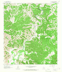
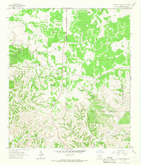
Historical Maps of Real County Through Time
11 maps found
1957 York Hollow
Real County, TX
1964 Circle Bluff
Real County, TX
1964 Hillcrest Ranch
Real County, TX
1969 Rio Frio
Real County, TX
1971 Bee Cave Hollow
Real County, TX
1971 Crown Mountain
Real County, TX
1971 Earwood Creek
Real County, TX
1971 Earwood Creek SW
Real County, TX
1971 Jo Jan Van Camp
Real County, TX
1971 Joy Hollow
Real County, TX
1971 Owl Hollow
Real County, TX