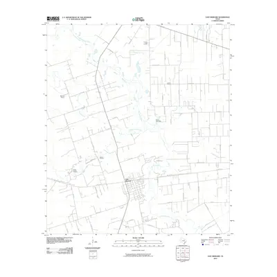
2010 Map of East Bernard
USGS Topo · Published 2010About this map
The San Bernard River winds through this coastal prairie landscape, anchoring the settlement of East Bernard. This region is characterized by its intricate network of drainage and irrigation, with features like Elm Slough, Middle Bernard Creek, and Turkey Creek feeding into the main river channel. The agricultural layout is defined by a dense grid of rural roads, including Svoboda Rd and County Line Rd, which serve the outlying farmsteads and the open expanse of Bernard Prairie.
Find a feature on this map
65 named features on this map. Tap any name to fly to it.
Don’t see what you’re looking for? This feature index may not catch every label — zoom into the map to look around manually.
Map Details
Editions of this 2010 East Bernard Map
This is the sole edition of this map. No revisions or reprints were ever made.
Other maps of this area

1950 · Houston
USGS Topo · 1:250,000

1952 · Egypt
USGS Topo · 1:24,000

1953 · Kendleton
USGS Topo · 1:24,000

1953 · Hungerford
USGS Topo · 1:24,000

1953 · Seguin
USGS Topo · 1:250,000

1955 · Richmond
USGS Topo · 1:62,500

1956 · Wallis
USGS Topo · 1:62,500

1956 · Houston
USGS Topo · 1:250,000

1958 · Seguin
USGS Topo · 1:250,000

1960 · Lissie
USGS Topo · 1:24,000