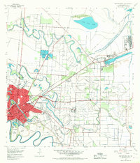
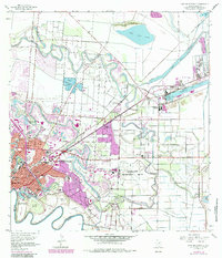
1955 Map of East Brownsville
USGS Topo · Published 1968About this map
Brownsville and its surrounding borderlands are captured here in a period of significant post-war industrial expansion. The landscape is defined by the winding oxbow loops of the Rio Grande, where numerous bancos like Los Tomates Banco and Jeronimo Banco mark the shifting course of the international boundary. To the north, the Resaca de la Palma Battlefield and its associated Historical Monument preserve the site of the 1846 conflict, while the Old Fort Brown Reservation anchors the city's historic military footprint near Southmost College.
Find a feature on this map
48 named features on this map. Tap any name to fly to it.
Don’t see what you’re looking for? This feature index may not catch every label — zoom into the map to look around manually.
Map Details
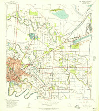
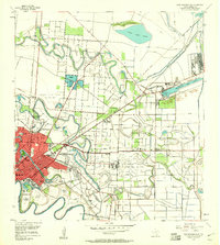
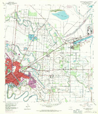
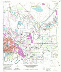
Editions of this 1955 East Brownsville Map
6 editions found
Other maps of this area

1929 · Palmito Hill
USGS Topo · 1:24,000

1929 · Laguna Vista
USGS Topo · 1:24,000

1930 · Los Fresnos
USGS Topo · 1:24,000

1930 · West Brownsville
USGS Topo · 1:24,000

1930 · Barreda
USGS Topo · 1:24,000

1930 · East Brownsville
USGS Topo · 1:24,000

1936 · Los Fresnos
USGS Topo · 1:31,680
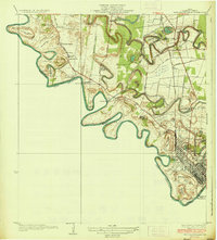
1936 · West Brownsville
USGS Topo · 1:31,680

1936 · Palmito Hill
USGS Topo · 1:31,680
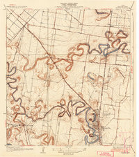
1936 · Barreda
USGS Topo · 1:31,680
Featured Places
- Brownsville, TX
- Cameron Park, TX
- Cameron Park Colonia, TX
- Illinois Heights Colonia, TX
- Bautista Colonia, TX