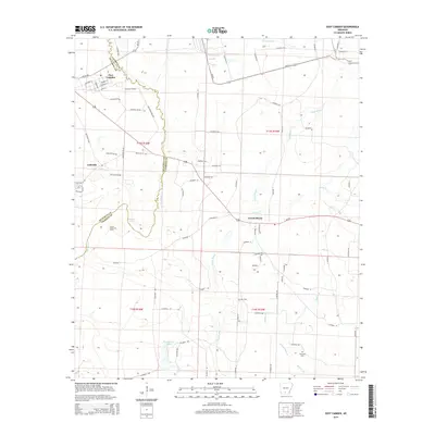
2014 Map of East Camden
USGS Topo · Published 2014About this map
Locust Bayou and the surrounding piney lowlands define the border between Ouachita and Calhoun counties in this 2014 survey. The settlement of East Camden occupies the northwestern corner, characterized by a structured street grid including Hussey Rd and Tabor Ave, while the rural character of the region is evident in the sprawling Locust Bayou Oil Field. The landscape is a network of slow-moving water bodies and wetlands, from the oxbow-like Muslin Lake and Walker Lake to the drainage of Two Bayou and Caney Cr.
Find a feature on this map
69 named features on this map. Tap any name to fly to it.
Don’t see what you’re looking for? This feature index may not catch every label — zoom into the map to look around manually.
Map Details
Editions of this 2014 East Camden Map
This is the sole edition of this map. No revisions or reprints were ever made.
Other maps of this area

1903 · Camden
USGS Topo · 1:125,000

1951 · Camden
USGS Topo · 1:24,000

1953 · El Dorado
USGS Topo · 1:250,000

1957 · El Dorado
USGS Topo · 1:250,000

1958 · El Dorado
USGS Topo · 1:250,000

1960 · El Dorado
USGS Topo · 1:250,000

1962 · Louann
USGS Topo · 1:24,000

1962 · Smackover NE
USGS Topo · 1:24,000

1962 · Snow Hill
USGS Topo · 1:24,000

1964 · Smackover
USGS Topo · 1:62,500