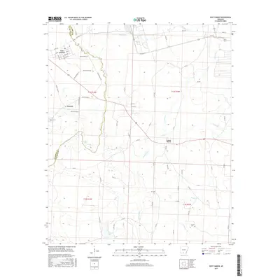
2017 Map of East Camden
USGS Topo · Published 2017About this map
The Locust Bayou watercourse and its surrounding lowlands dominate this section of the Arkansas coastal plain, where the border between Ouachita and Calhoun counties is defined by the winding paths of local waterways. The settlement of East Camden sits at the northwestern edge of the map, characterized by a structured street grid including Busbee and Shepard Ave, while the interior of the quadrangle is largely defined by rural road networks like Quachita Road 210 and State Hwy 274. Genealogists and local historians can find burial sites at Furr Cem and Plunkett Cem. The landscape is heavily influenced by the drainage patterns of Two Bayou and Caney Cr, which feed into larger bodies such as Walker Lake and Big Johnson Lake, illustrating the hydrologic character of the South Arkansas timberlands.
Find a feature on this map
68 named features on this map. Tap any name to fly to it.
Don’t see what you’re looking for? This feature index may not catch every label — zoom into the map to look around manually.
Map Details
Editions of this 2017 East Camden Map
This is the sole edition of this map. No revisions or reprints were ever made.
Other maps of this area

1903 · Camden
USGS Topo · 1:125,000

1951 · Camden
USGS Topo · 1:24,000

1953 · El Dorado
USGS Topo · 1:250,000

1957 · El Dorado
USGS Topo · 1:250,000

1958 · El Dorado
USGS Topo · 1:250,000

1960 · El Dorado
USGS Topo · 1:250,000

1962 · Louann
USGS Topo · 1:24,000

1962 · Smackover NE
USGS Topo · 1:24,000

1962 · Snow Hill
USGS Topo · 1:24,000

1964 · Smackover
USGS Topo · 1:62,500