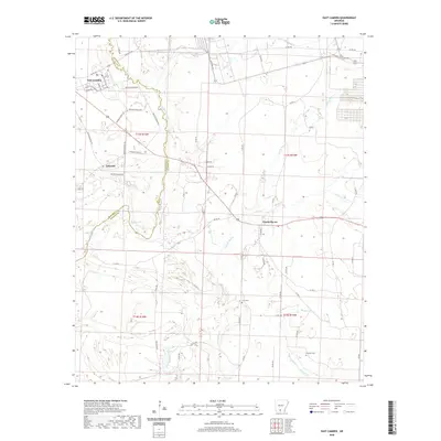
2020 Map of East Camden
USGS Topo · Published 2020About this map
East Camden anchors the northwestern corner of this quadrangle at the intersection of State Hwy 274 and several local routes including Hussey Rd and Tabor Ave. The landscape is defined by the winding boundary between Ouachita and Calhoun counties, which follows the natural course of Two Bayou. This drainage network feeds into a complex system of waterways, including the prominent Walker Lake and the meandering Locust Bayou that cuts through the center of the survey area. Smaller communities and rural clusters like Lakeside appear alongside a network of county roads. Genealogists and local historians will find value in the clear placement of family-named landmarks such as Furr Cem and Plunkett Cem, which sit near the southern reaches of Mayner Branch.
Find a feature on this map
65 named features on this map. Tap any name to fly to it.
Don’t see what you’re looking for? This feature index may not catch every label — zoom into the map to look around manually.
Map Details
Editions of this 2020 East Camden Map
This is the sole edition of this map. No revisions or reprints were ever made.
Other maps of this area

1903 · Camden
USGS Topo · 1:125,000

1951 · Camden
USGS Topo · 1:24,000

1953 · El Dorado
USGS Topo · 1:250,000

1957 · El Dorado
USGS Topo · 1:250,000

1958 · El Dorado
USGS Topo · 1:250,000

1960 · El Dorado
USGS Topo · 1:250,000

1962 · Louann
USGS Topo · 1:24,000

1962 · Smackover NE
USGS Topo · 1:24,000

1962 · Snow Hill
USGS Topo · 1:24,000

1964 · Smackover
USGS Topo · 1:62,500