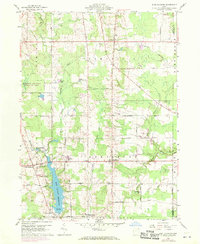
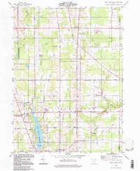
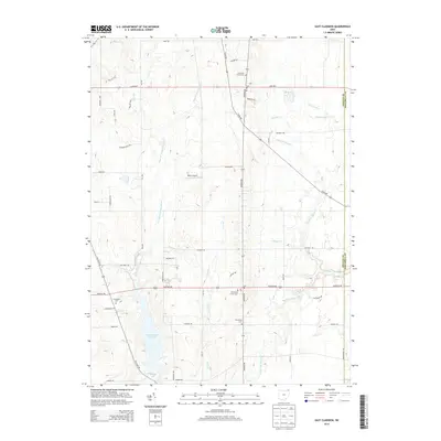
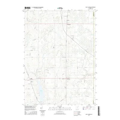
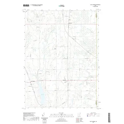
1959 Map of East Claridon
USGS Topo · Published 1970About this map
East Claridon and the surrounding townships of Montville and Huntsburg are defined by the headwaters of the Cuyahoga River and the expanding East Branch Reservoir during this mid-century period. Within the Connecticut Western Reserve, the map reveals a landscape transitioning from agricultural roots toward modernization, marked by the presence of the Nassau Astronomical Sta and a prominent Radio Tower. The transportation network is anchored by the Baltimore and Ohio Railroad cutting through the southwest, while historic routes like Plank Road and Chardon-Windsor Road connect established crossroads. Local life is centered around the Huntsburg Sch and the Huntsburg Cem, alongside the recreational grounds of a Golf Course and the Hambden Orchard Wildlife Area. Smaller settlements like Claridon and Culbertsons Corners reflect the enduring local-history character of Geauga County before significant suburban expansion.
Find a feature on this map
47 named features on this map. Tap any name to fly to it.
Don’t see what you’re looking for? This feature index may not catch every label — zoom into the map to look around manually.
Map Details
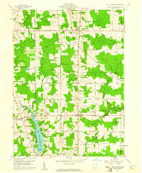
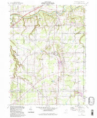
Editions of this 1959 East Claridon Map
3 editions found
Historical Maps of Hambden Township Through Time
14 maps found
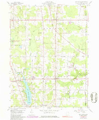
1959 East Claridon
Geauga County, OH
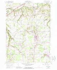
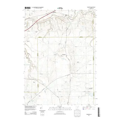
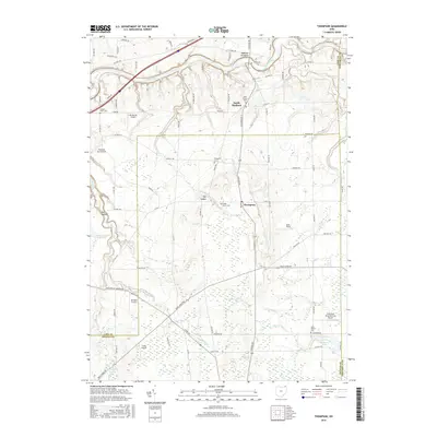
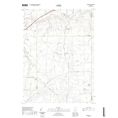
1960 Thompson
Geauga County, OH
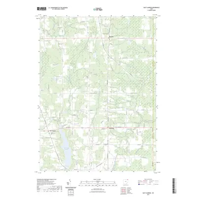
1994 East Claridon
Geauga County, OH
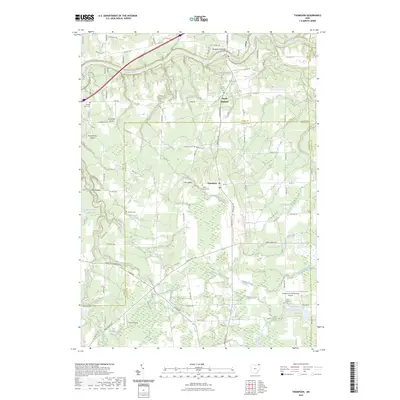
1994 Thompson
Geauga County, OH
2010 East Claridon
Geauga County, OH
2010 Thompson
Geauga County, OH
2013 East Claridon
Geauga County, OH
2013 Thompson
Geauga County, OH
2016 East Claridon
Geauga County, OH
2016 Thompson
Geauga County, OH
2019 East Claridon
Geauga County, OH
2019 Thompson
Geauga County, OH
2023 East Claridon
Geauga County, OH
2023 Thompson
Geauga County, OH
Featured Locations
- Mesopotamia Township, OH
- Burton Township, OH
- Hambden Township, OH
- Hartsgrove Township, OH
- East Claridon, Claridon Township